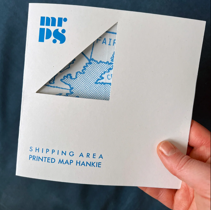
Shipping Area Hankie
£18.00
In stock
Description
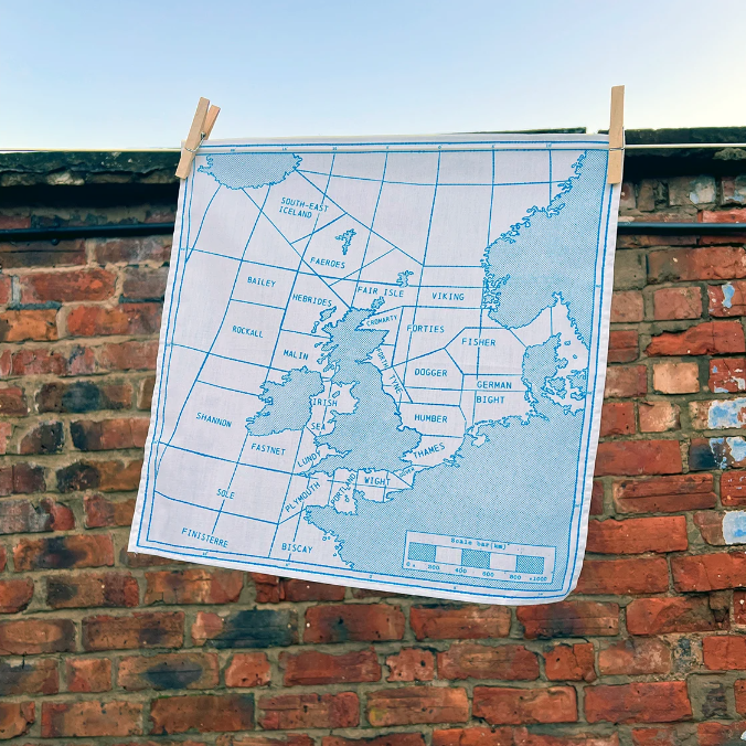
A screen-printed cotton handkerchief featuring a vintage map of the UK shipping forecast areas around the coast of the British Isles and Northern European coastline by MrPS.
The Shipping Forecast is a BBC Radio broadcast of weather reports and forecasts for the seas around the coasts of the British Isles. It is produced by the Met Office and broadcast by BBC Radio 4 on behalf of the Maritime and Coastguard Agency.
The chart MrPS used to inspire this hankie dates from the mid 20th Century, and shows the following shipping regions: Viking, Forties, Cromarty, Forth, Tyne, Dogger, Fisher, German Bight, Humber, Thames, Dover, Wight, Portland, Plymouth, Biscay, Finisterre, Sole, Lundy, Fastnet, Irish Sea, Shannon, Rockall, Malin, Hebrides, Bailey, Fair Isle, Faeroes, Iceland
Digitally printed and sewn in London, UK.
Made from 100% cotton
Size: 40 x 40 cm
Machine wash at 40C
The individual handkerchief comes folded and packaged in a recycled card wallet, which has a cut window on the front, and an overview of the design on the back.